Flying Down Buffalo Bayou
The Mother Bayou from Beginning to End
June 24, 2016

Buffalo Bayou near its source in Katy, Texas, a town formerly known as Cane Island. Image from drone video by Connor Winn, April 2016.
“Visualizing Nature, The Art and The Science” was the title of a class at Rice University taught this spring by photographer Geoff Winningham, professor of photography in the Art Department and holder of the Lynette S. Autrey Chair in the Humanities, and by Adrian Lenardic, professor of geophysics and planetary science in the Department of Earth Science. One theme of the class was the visual and scientific aspects of Buffalo Bayou.
Connor Winn was a student in that class, and he made a lovely fourteen-minute video using a flying drone that follows our Mother Bayou from its quiet beginnings west of Houston. The film allows us to watch the bayou evolve from its source near Cane Island Branch, a creek, one of many feeding into the bayou, that runs through the town of Katy, which in the 1800s was known as Cane Island, named after the creek filled with cane. We see the bayou growing into the mighty ship channel and joining the San Jacinto River at Burnet Bay, part of Galveston Bay, near the San Jacinto Monument just upstream of Baytown.
Film: Letting the River Heal
Learning to Respect A River’s Natural Process
October 18, 2015
“We have to be patient,” says Steve Nelle, Natural Resources Conservation Service, retired.
“Nature’s going to recover that area at her own timetable in her own way. It’s best to accommodate that natural process.”
Watch this moving and informative 14-minute documentary about a river’s natural process and Best Management Practices for protecting against erosion and preserving a river’s important role in cleansing our water, slowing storm water and runoff, and providing wildlife habitat.
All of this applies to Buffalo Bayou as well as our other bayous, creeks, and streams in Harris County. Even a small riparian buffer of native trees and vegetation a few feet wide is important for our waterways and the cleanliness of the water flowing through our neighborhood streams and into our bays and oceans. But on Buffalo Bayou, especially as it flows past Memorial Park, we are fortunate to have room for the river to move. Letting the river be a river is the most current scientific thinking on river management, even in cities. A dynamic river creates the most beneficial and biologically diverse environment.
Let’s work with nature, not against it.
This lovely, short film was made about the Blanco River and the impact of the 2015 Memorial Day flood on Wimberly, Texas. We can all learn from it.

Steve Nelle, Natural Resources Conservation Service, retired. Still photo from the documentary, “Letting the River Heal.”
Update on Puzzling Project to Bulldoze Wild Buffalo Bayou
Damaging, Expensive, Contradictory Plan Still Threatens
Conflicts Still Apparent, Purpose Still Unclear
No Permit Yet
October 8, 2015
The Harris County Flood Control District has responded to largely critical public comments to the Army Corps of Engineers about Flood Control’s misguided project to destroy one of the last natural stretches of Buffalo Bayou in Houston, a most remarkable asset to have in the middle of a city. The Corps is reviewing the Flood Control District’s responses, says Jayson Hudson, who has been the Corps’ Galveston District project manager for the permit application.
Flood Control must apply for a permit from the Corps of Engineers because the Clean Water Act requires the Corps to ensure that projects on federal waters do not damage the health of our waters. Federal waters are defined as navigable streams (Buffalo Bayou) up to the Ordinary High Water Mark, their tributaries and adjacent wetlands, all of which form the great living veins and arteries of our limited water supply. Some studies argue that all riparian areas , the highly biologically diverse natural gardens and forests along stream banks so vital for clean water, should be considered protected wetlands .

This beautiful meander, a natural storm water detention area, would be filled in and graded, the woods and high cliffs destroyed, and the entire floodplain area obliterated by a permanent road. Aerial photo on Oct. 3, 2015, by Jim Olive
Dave Rosgen says our Buffalo Bayou is natural, functional, stable.
June 10, 2014
Listen to river guru Dave Rosgen describe the wild section of our Buffalo Bayou that Harris County wants to destroy as a “living, functional river system right here in the middle of Houston.”
The Harris County Flood Control District, Memorial Park Conservancy, and the Bayou Preservation Association all cite Rosgen in support of their bizarre, pointless plan to bulldoze the riparian forest on Buffalo Bayou in and around Memorial Park.
But here is what Rosgen himself had to say in 2009 about the health and stability of that very section of Buffalo Bayou. In this video Rosgen is standing on the bridge to the Bayou Bend Collection and Gardens looking upstream towards the area targeted for destruction by Harris County.
Watch the interview with Dave Rosgen.
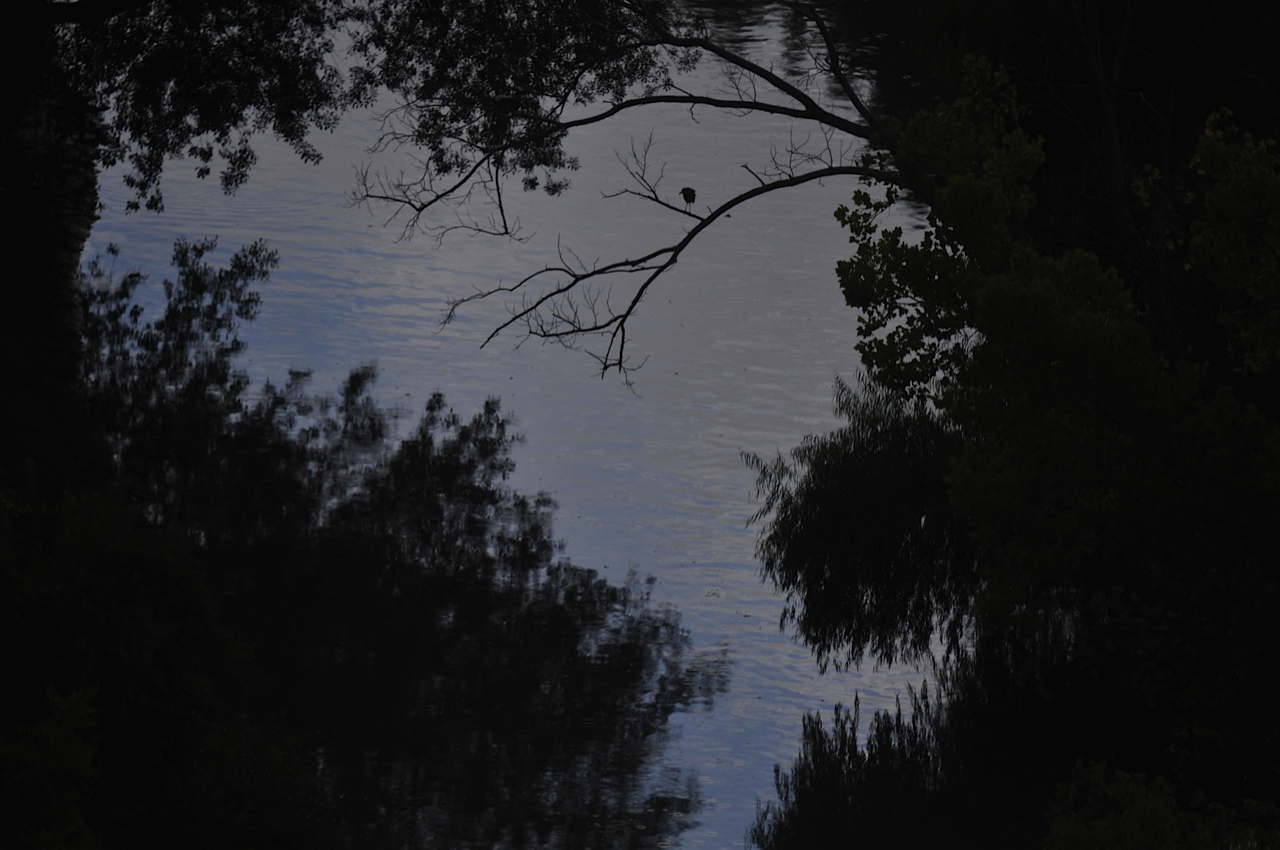
Photo by G.O. Jackson Jr.
Yes, We have Rocks in Houston. And No, That’s Not a Problem: That’s a Beautiful Pleistocene Cliff.
May 31, 2014
Floating down Buffalo Bayou past Memorial Park with only clear ground springs trickling through the fine sand and bright red clay banks. We put in last Friday morning under the Woodway Bridge, as they were spraying turf grass on the ugly drainage project that replaced the nature trail that used to exist downstream of the bridge. Led by a small white egret, with mockingbirds and cardinals calling in the trees and graceful herons crisscrossing in front of us, we floated with Memorial Park on our left all the way to the Shepherd Bridge.
This is a short video of the riparian forest the Harris County Flood Control District plans to destroy so that they can “restore” it.
What you can see when they are not flushing the 18,000-year-old mother bayou with sediment-laden water from the failing Addicks and Barker dams is: rocks. Yes, we do have rocks in Houston. Beautiful gray stone tables and ledges, huge slabs of ancient flat sandstone, mostly broken, alas, in a purposeful, barbaric act of destruction by the Harris County Flood Control District. Some years ago they drove a huge-wheeled crushing machine down the banks. Why? Who knows? Maybe they thought breaking up gajillion-years-old stone slabs would slow the water. Maybe they just don’t respect the bayou or our natural history.
But enjoy while you can the intricate, woven roots of boxelders, towering sycamores, and willows holding the historic banks together; the sparkling, natural springs surrounded by tiny green liverwort, seeping out of the layered red clay.
And regard the high Pleistocene cliffs we have here on the prairie. And no, that hard-packed cliff is not about to collapse or fall in the water. That’s what nature looks like, ladies and gents. According to the people who know this bayou well, that old cliff has been there like that for more than forty-five years, or maybe thousands.
See for yourself. This video is just under eight minutes long. If you want to watch a longer, fifteen-minute movie with informative dialog and text, you can find it here. Watch both!

Red clay bank and riparian forest on Buffalo Bayou. Memorial Park on the left.

Recent Comments